|
|
This page was last modified 2024-01-21
| |||||||||||||||||||||||||||||||||||||||||||
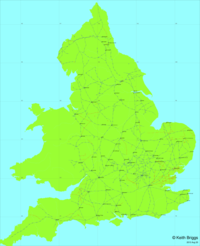
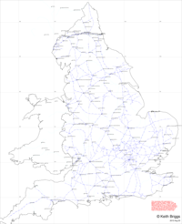
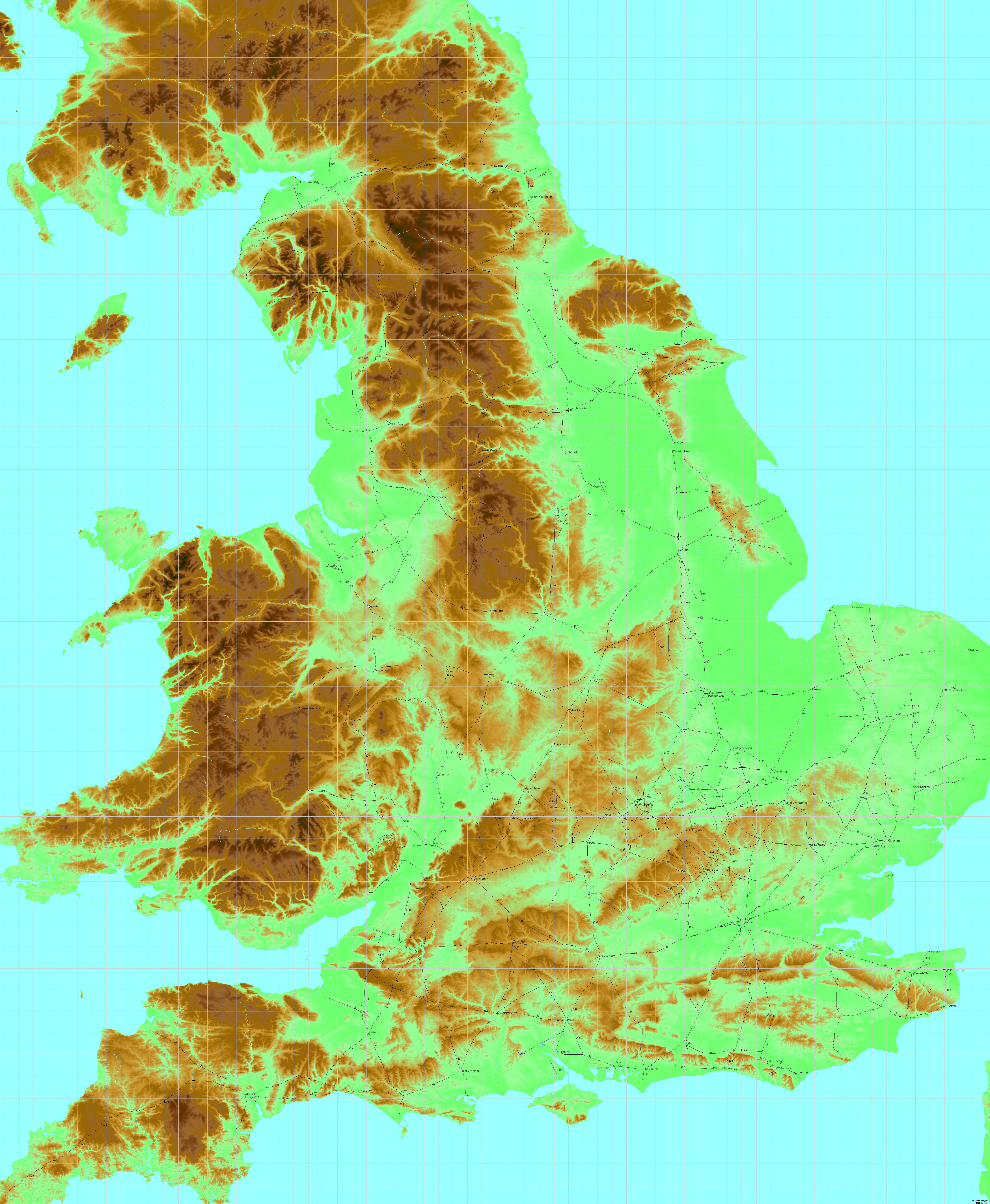
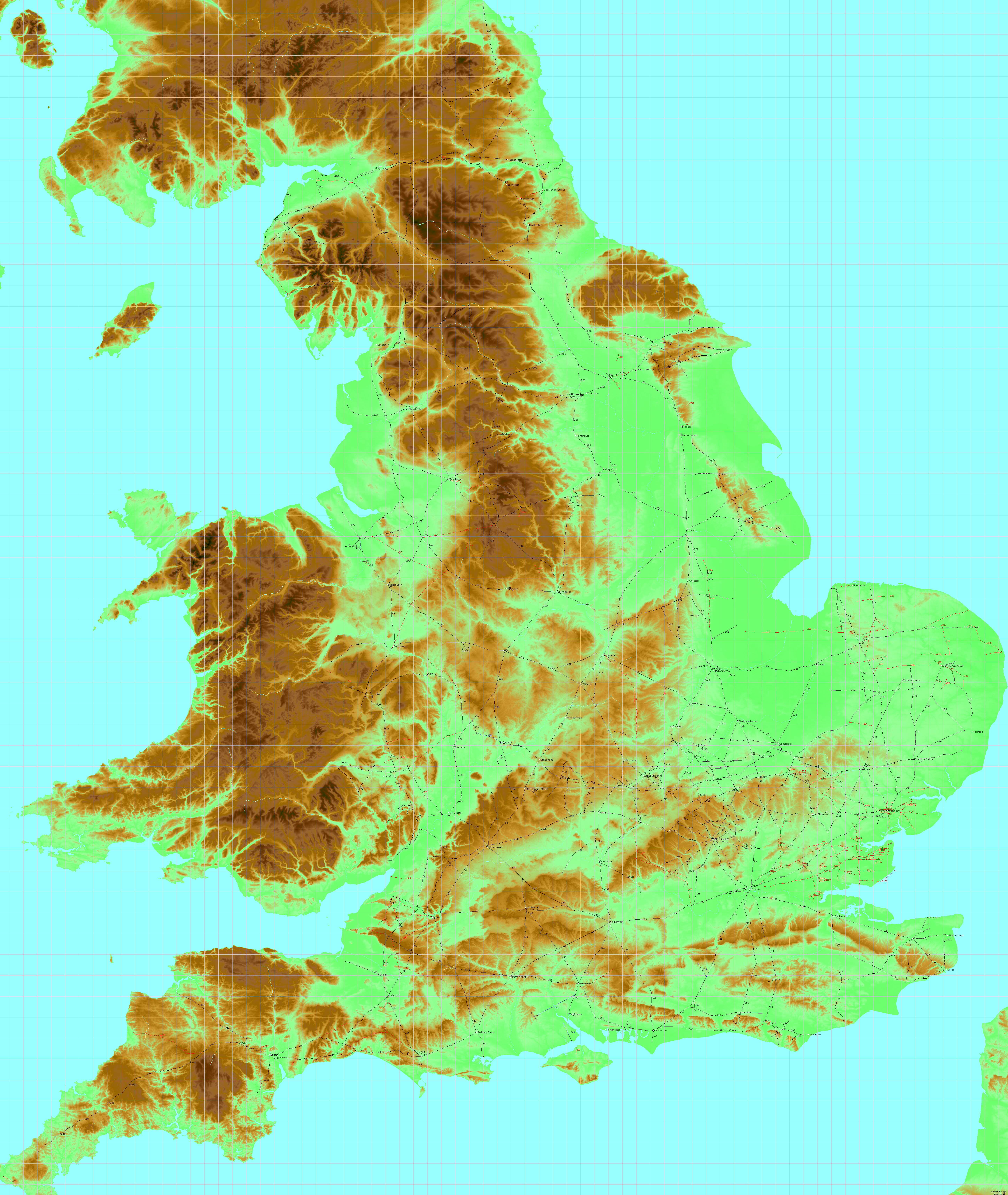
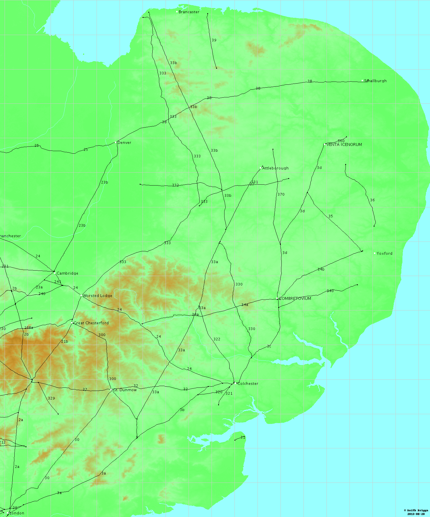
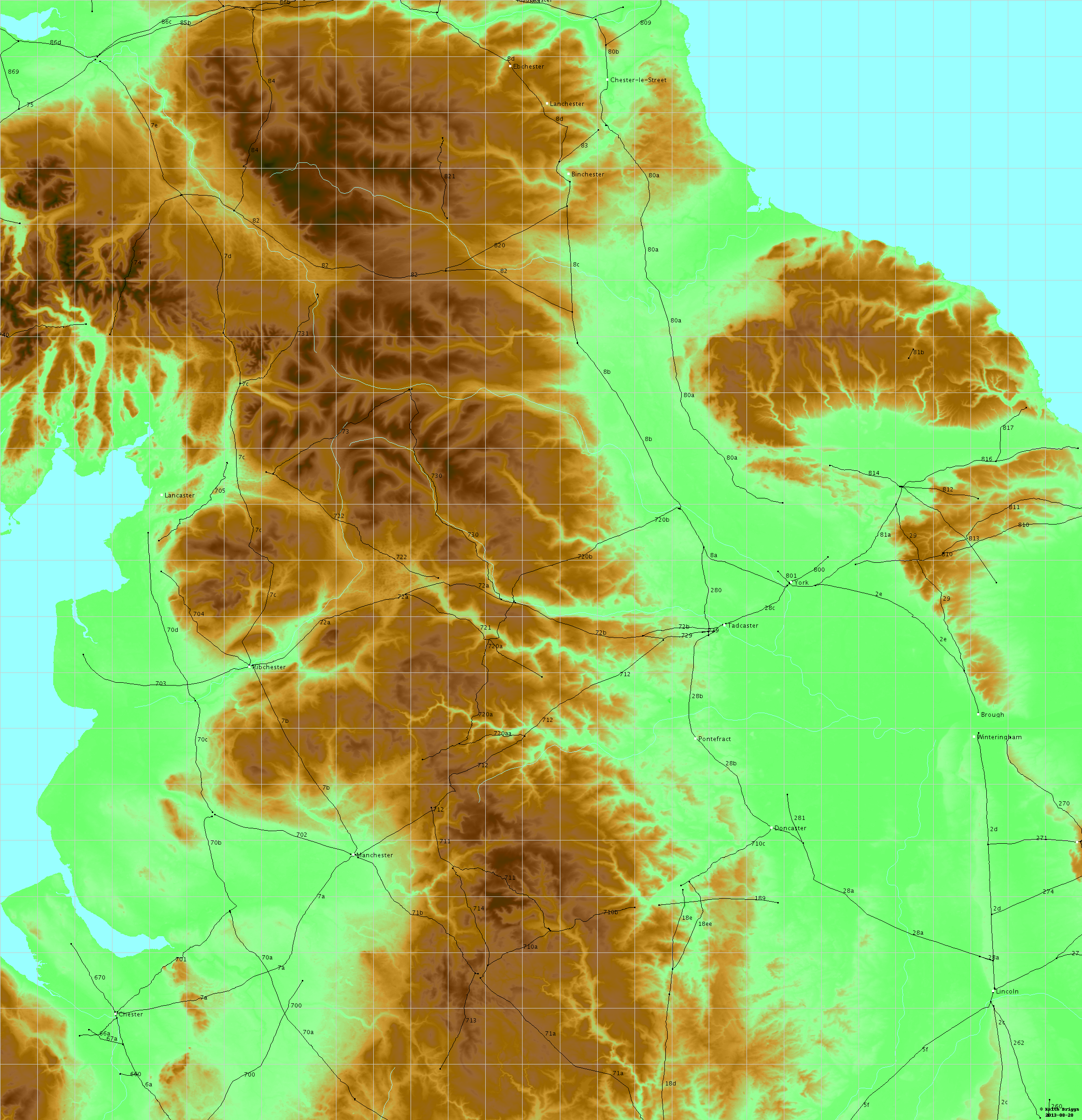
Maps of Roman roads in England2013-08-20: new maps incorporating a correction near Tadcaster. All maps are now higher resolution, which means that the filesizes quoted below should be approximately doubled. As part of my work on software to create maps specifically for illustrating documents on place-names, I have made these experimental maps of Roman roads in England. The maps are all automatically generated by computer programs, so may not be as visually pleasing as some human-generated maps. In particular, it is hard to write a program to place labels in optimal positions. All this work of course depends on a precise database of the route of these roads. I have started with a database maintained as part of the National Monument Record by English Heritage, and made some corrections and updates of my own. Please note that these maps are intended as experiments in computer mapping, and are not to be regarded as authoritative. Decisions on what is a Roman road and what is not need to be made by people with expertise in archaeology, history etc., and this is entirely another field to mine. This webpage contains maps of Roman roads in England only, similar to figures in I. Margary's book Roman roads in Britain (3rd edition, 1973, John Baker, London). Roads in red, with X numbers, are additional to Margary and are generally more doubtful. At the moment I do not have precise documentation on these. I know this is unscientific, but my priorities are to get the computer graphics right first. X roadsThe roads in the Southminster and Bradwell peninsula areas in Essex are from M. Christy, On Roman roads in Essex, Trans. Essex Arch. Soc., XVII (1923-5). A road from Hatton to Mere in Cheshire via Stretton, Appleton, Sworton Heath and High Legh was described in K. E. Jermy, The `North Cheshire Ridge' Roman road, Britannia 21, 283-285 (1990). This road, which cuts M7A and M70a, is not on my maps. informatics issuesI develop this software on the linux operating system, mostly using python software. For generating and manipulating graphics, I use Python Imaging Library and reportlab. For typsetting documents, I use LaTeX. As a matter of principle I use only free, open-source software and public domain data sources. My computers have been defenestrated. It is important to note that there are two essentially different types of computer graphics, each with advantages and disadvantages.
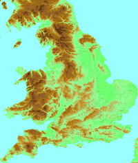
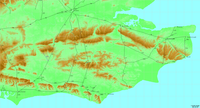
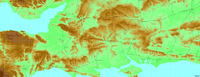
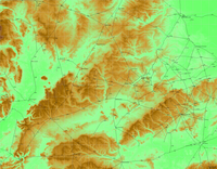
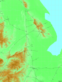
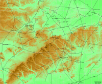
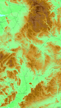
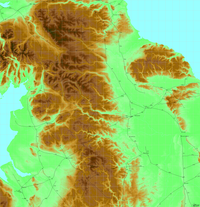
For the background elevation map which I used raw data from SRTM. I converted this to a colour coded png image, using colours similar to the classic Bartholemew British maps. The horizontal accuracy should be about 100 metres. For the rivers, I used data from CIA World DataBank II, which is considerably less accurate. An important experiment here concerns my pdf maps, which use Bézier splines to represent the roads. I have attempted to keep all errors to a maximum of about 100 metres. Unfortunately, pdf viewers such as Adobe Reader do not yet handle large embedded bitmaps well, so I have had to omit the background elevation image from the pdf maps. caveats
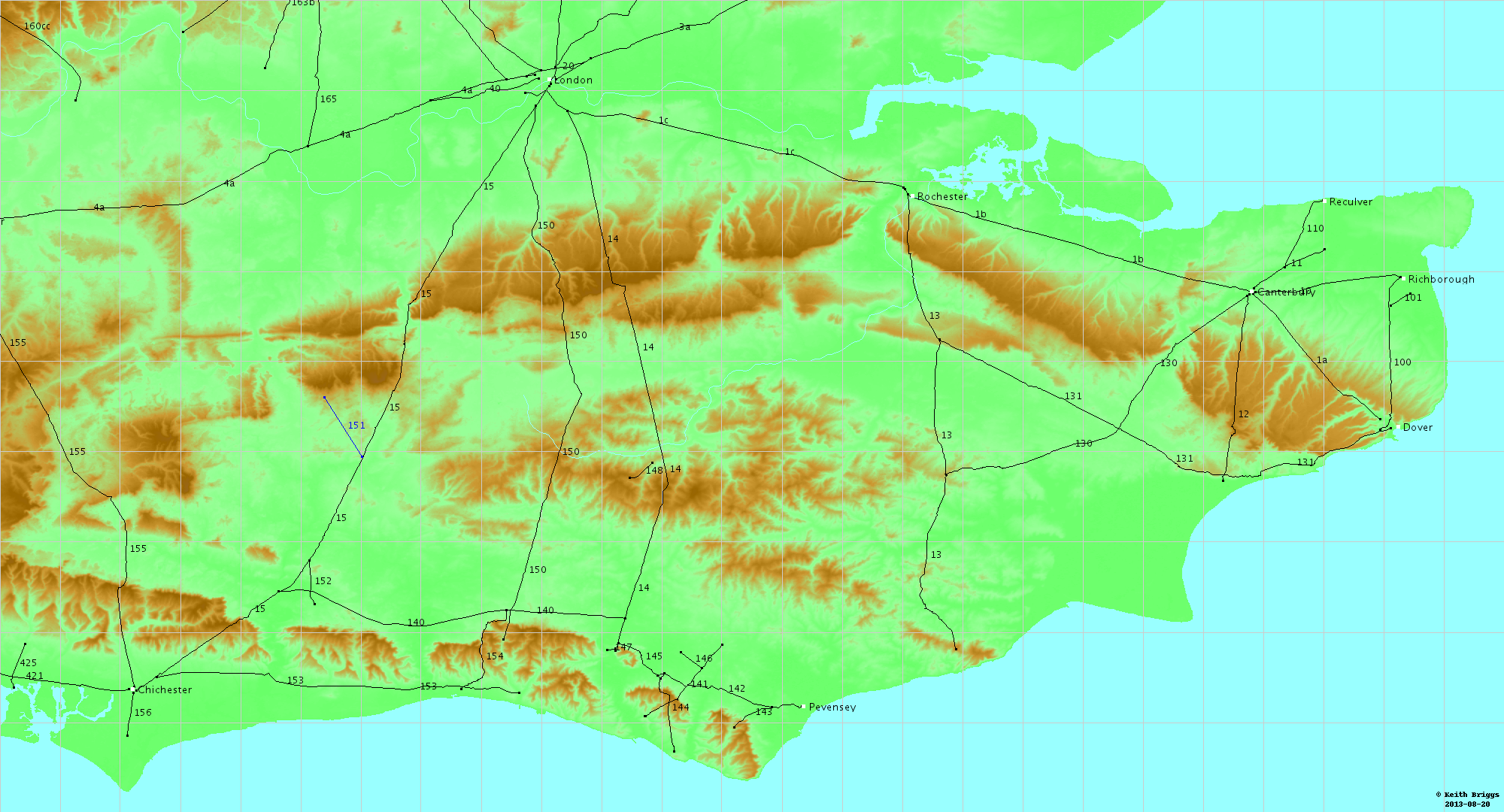
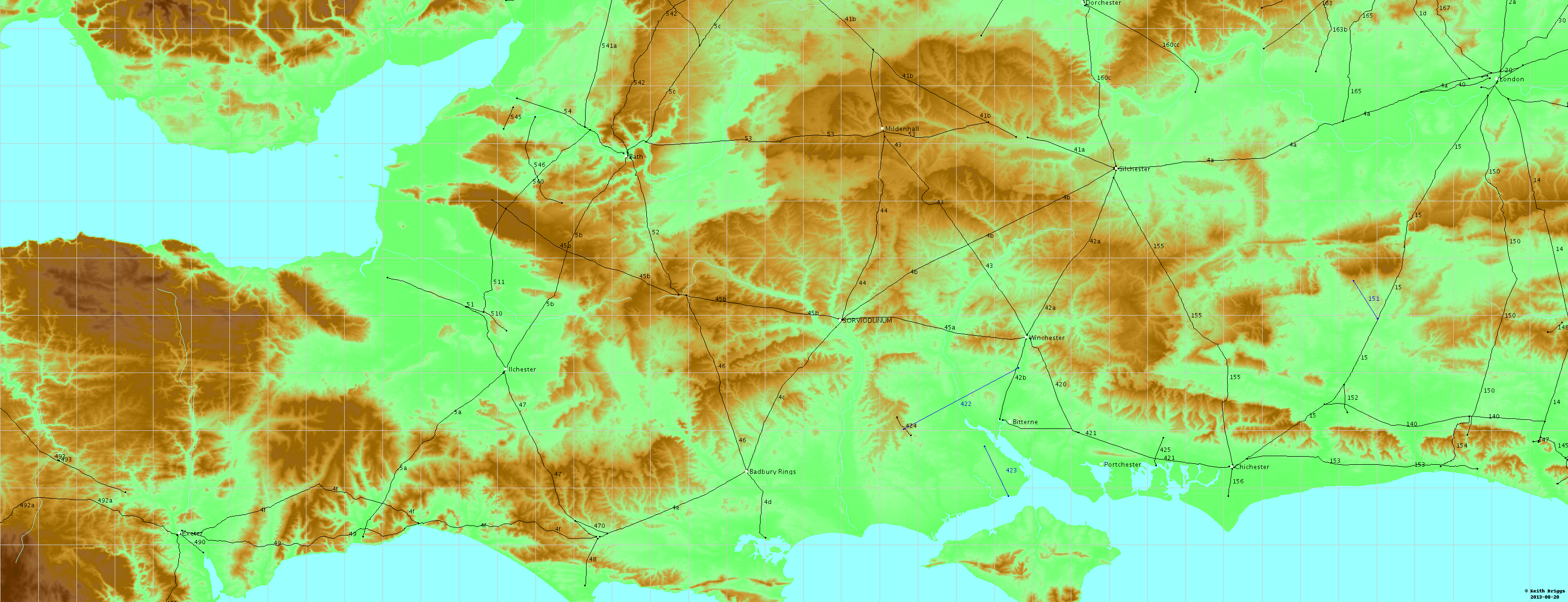
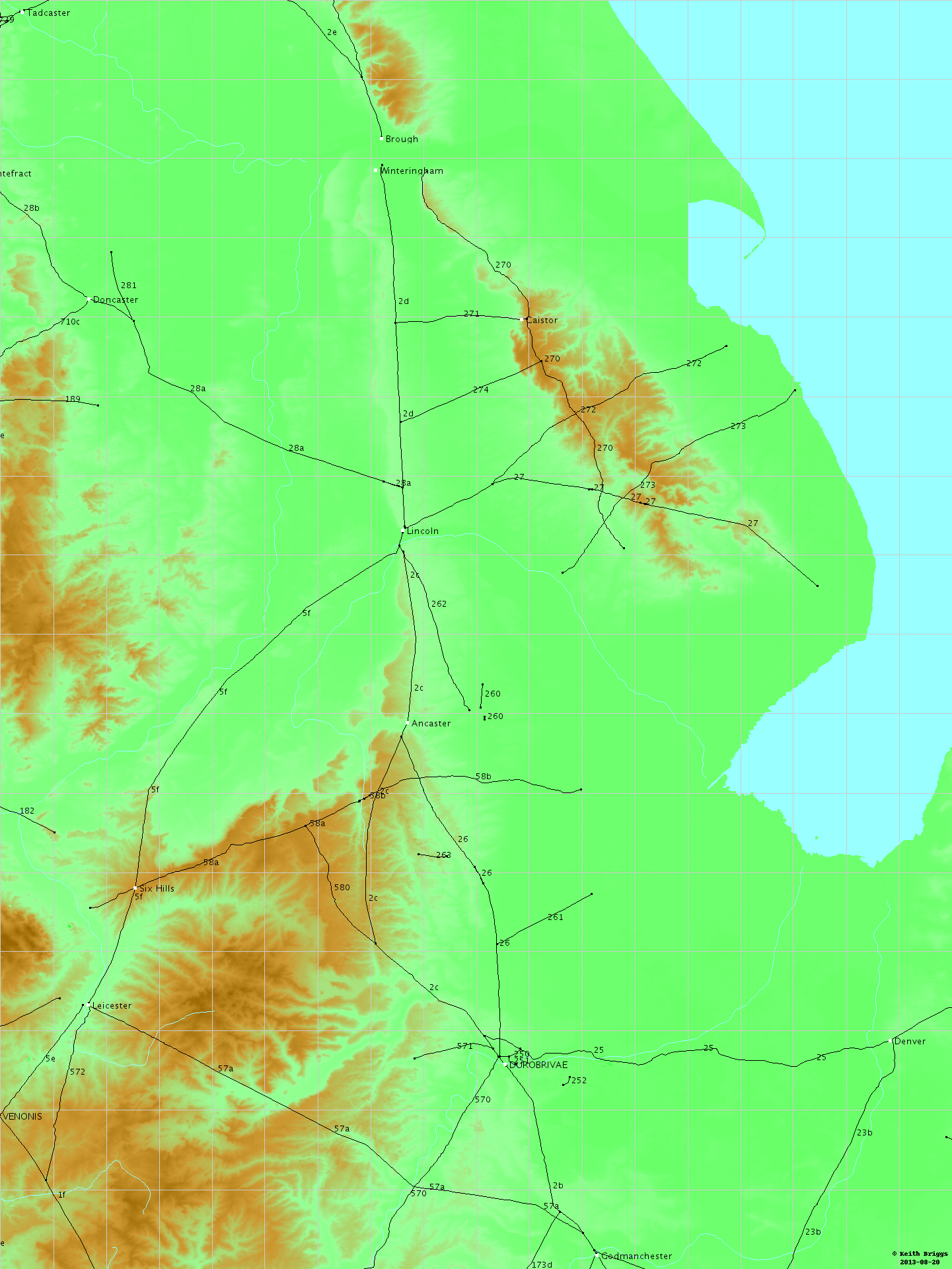
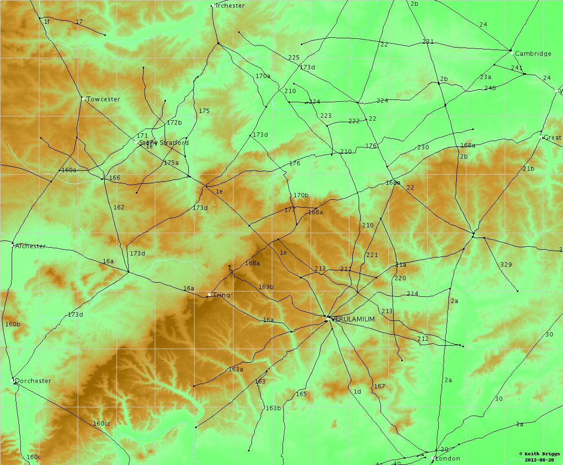
pdf mapsThe coordinates here are National Grid, with grid lines every 100 km.
png bitmapsThe coordinates here are latitude and longitude, with grid lines every 1/10 of a degree. The Figure and page numbers refer to Margary's book.
All the maps in one filepdf document (approx. 13Mb)
This website uses no cookies. This page was last modified 2024-01-21 10:57
by |


